
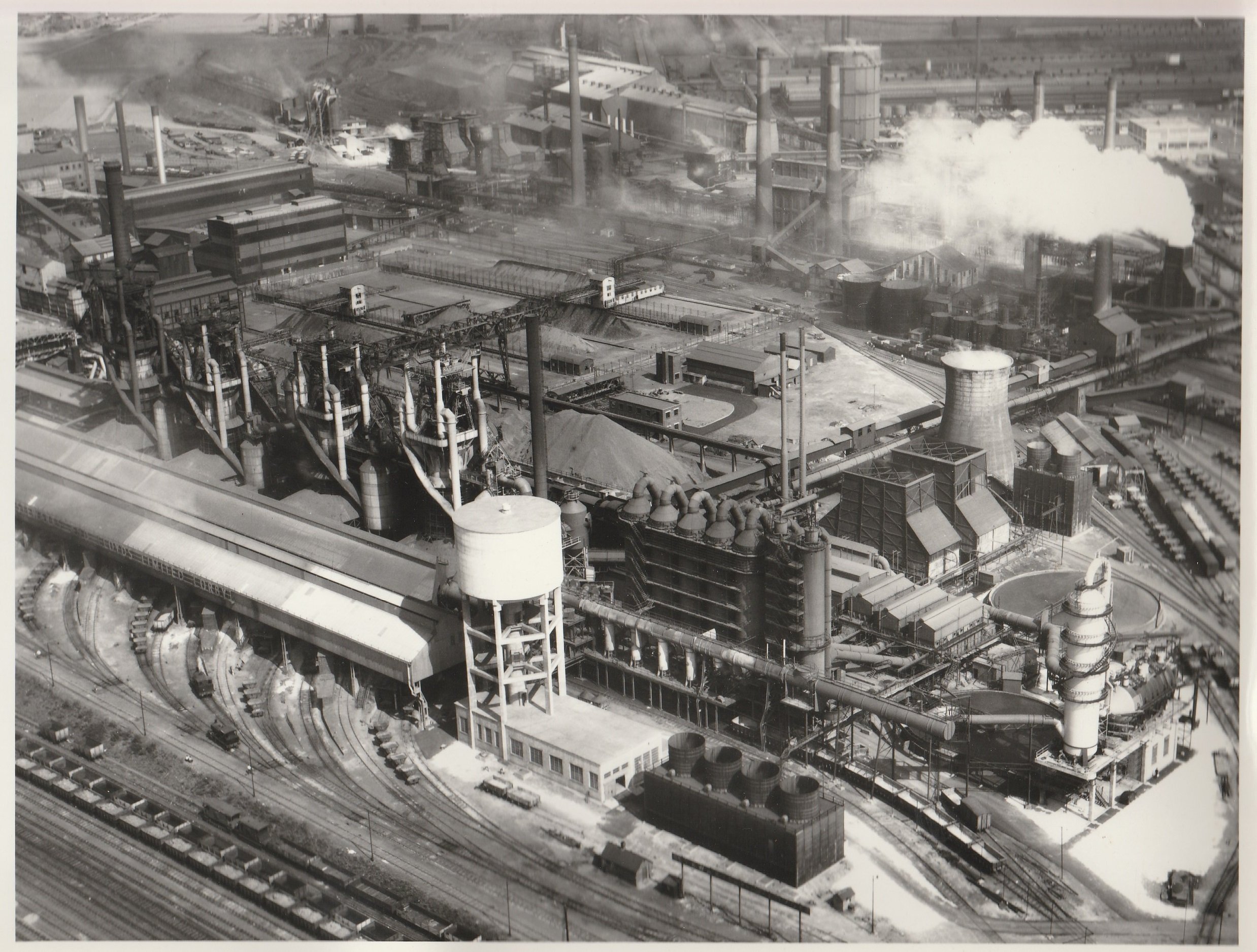
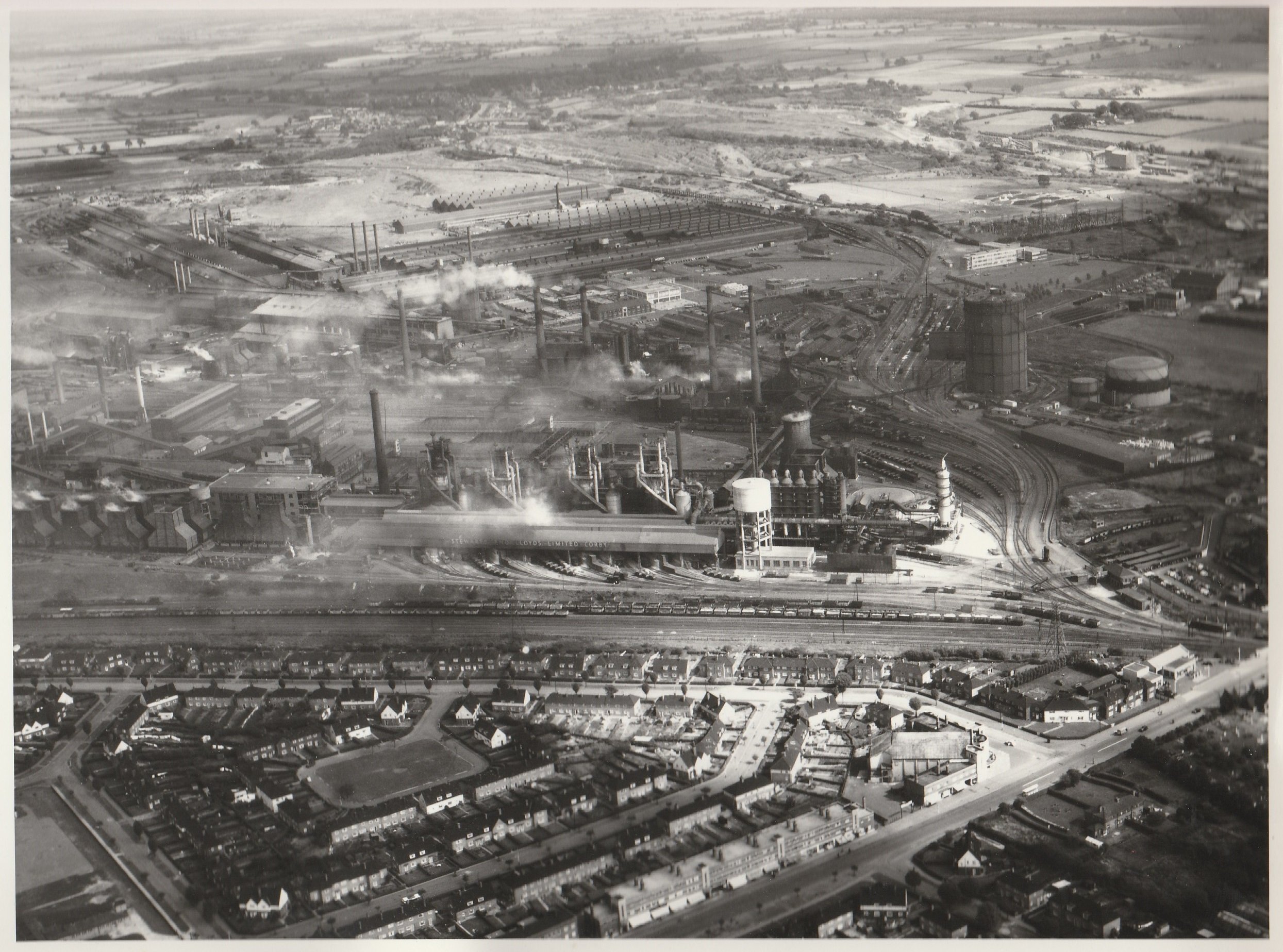
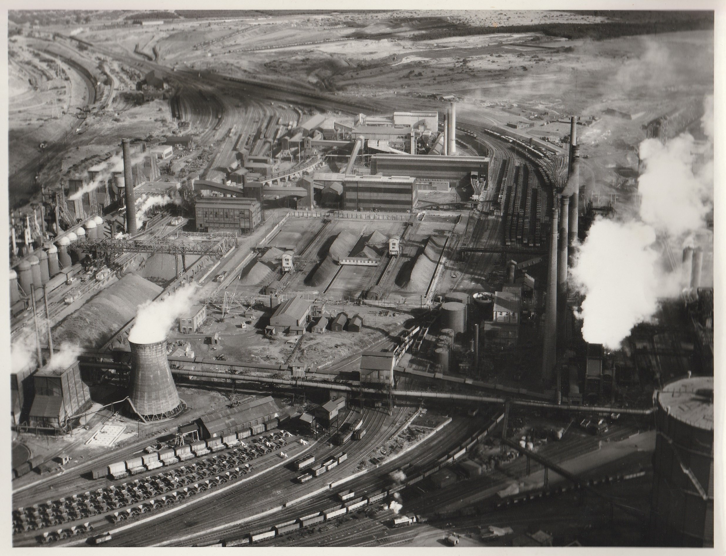
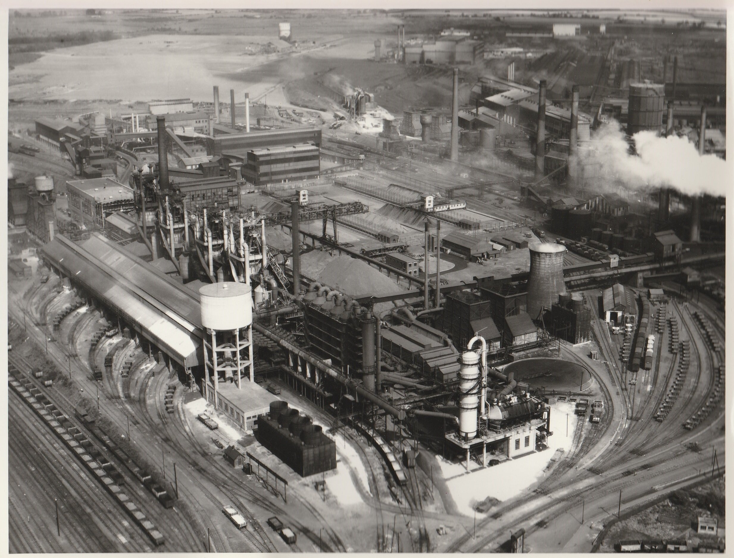
MAPS AND AERIALS
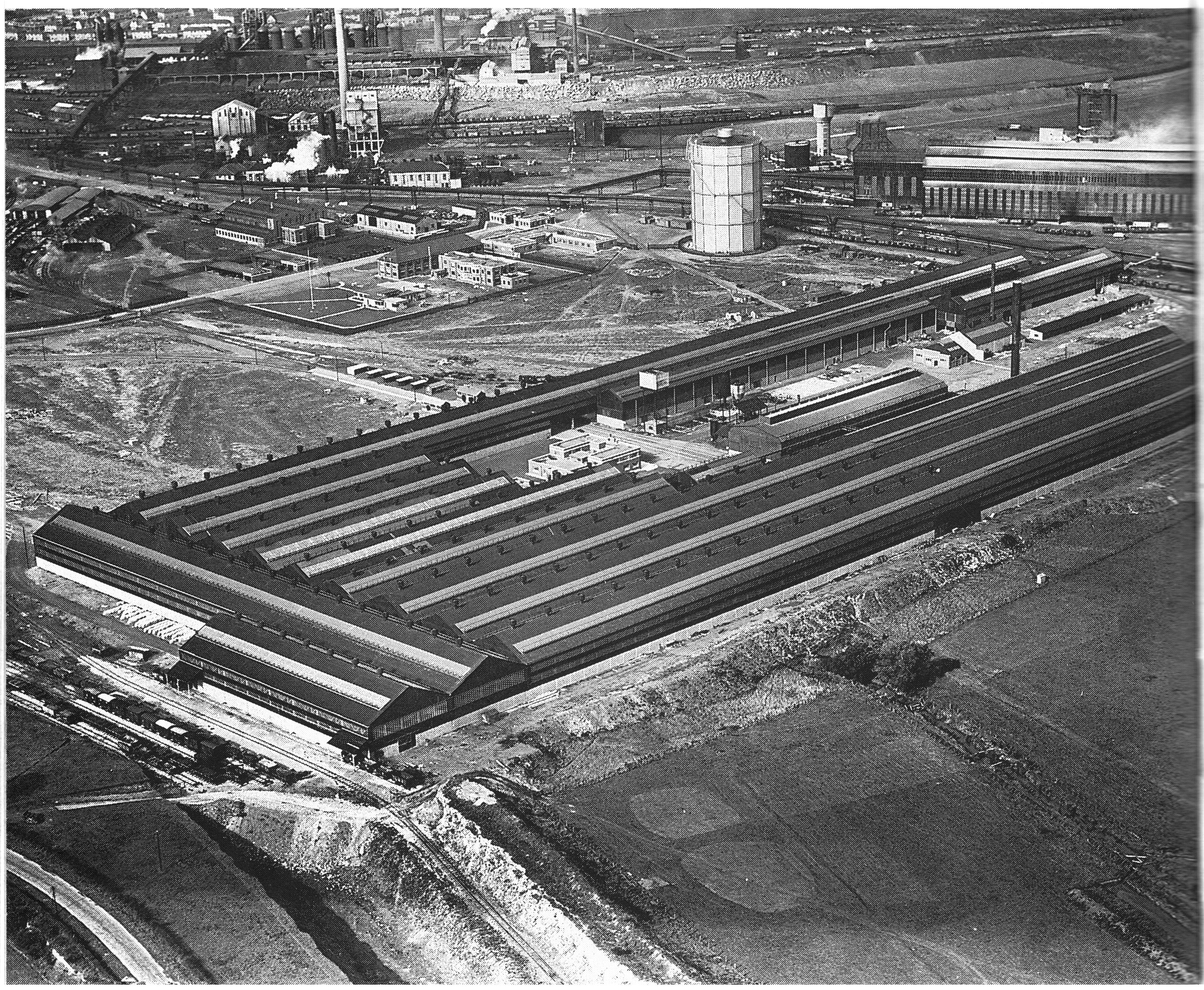
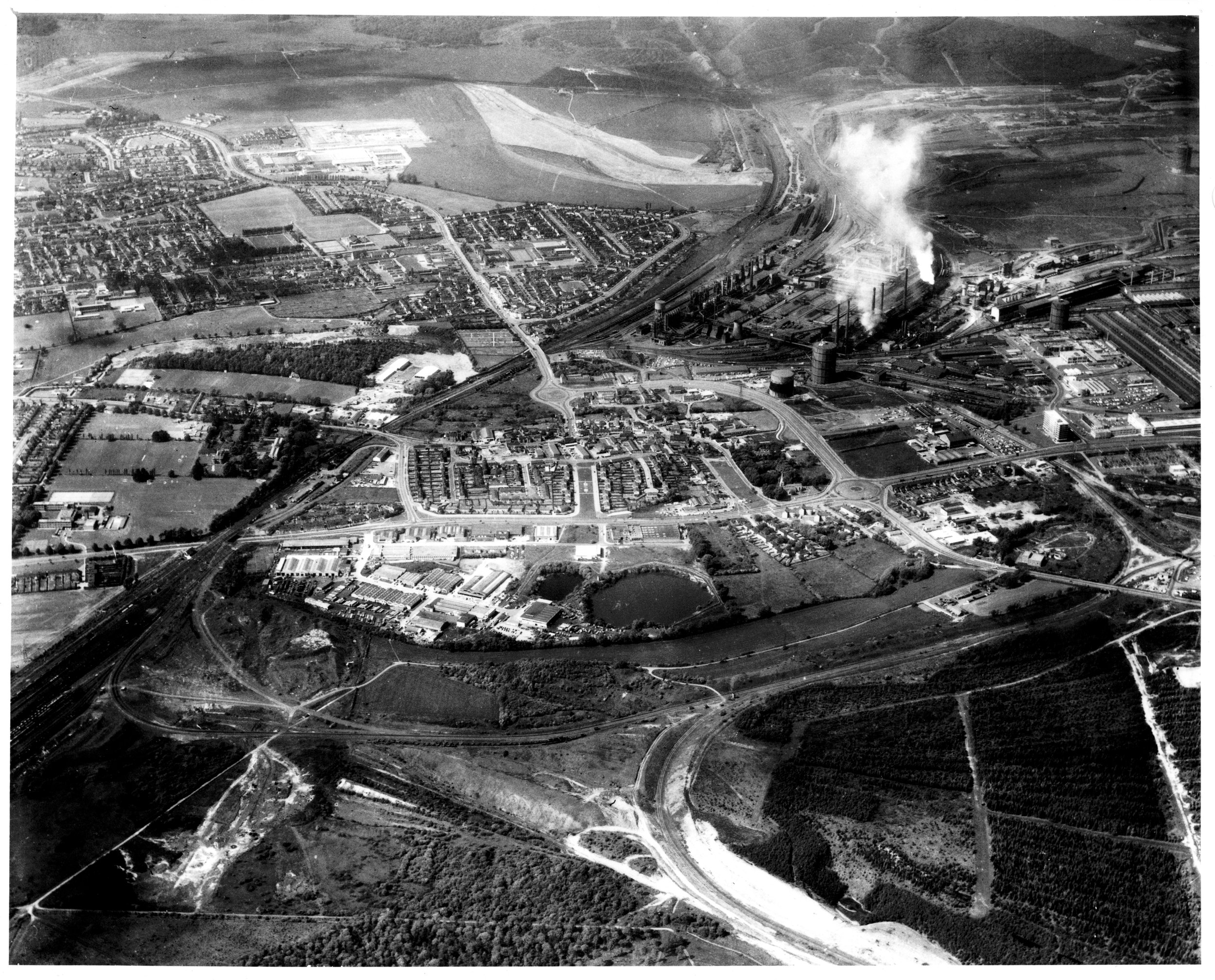
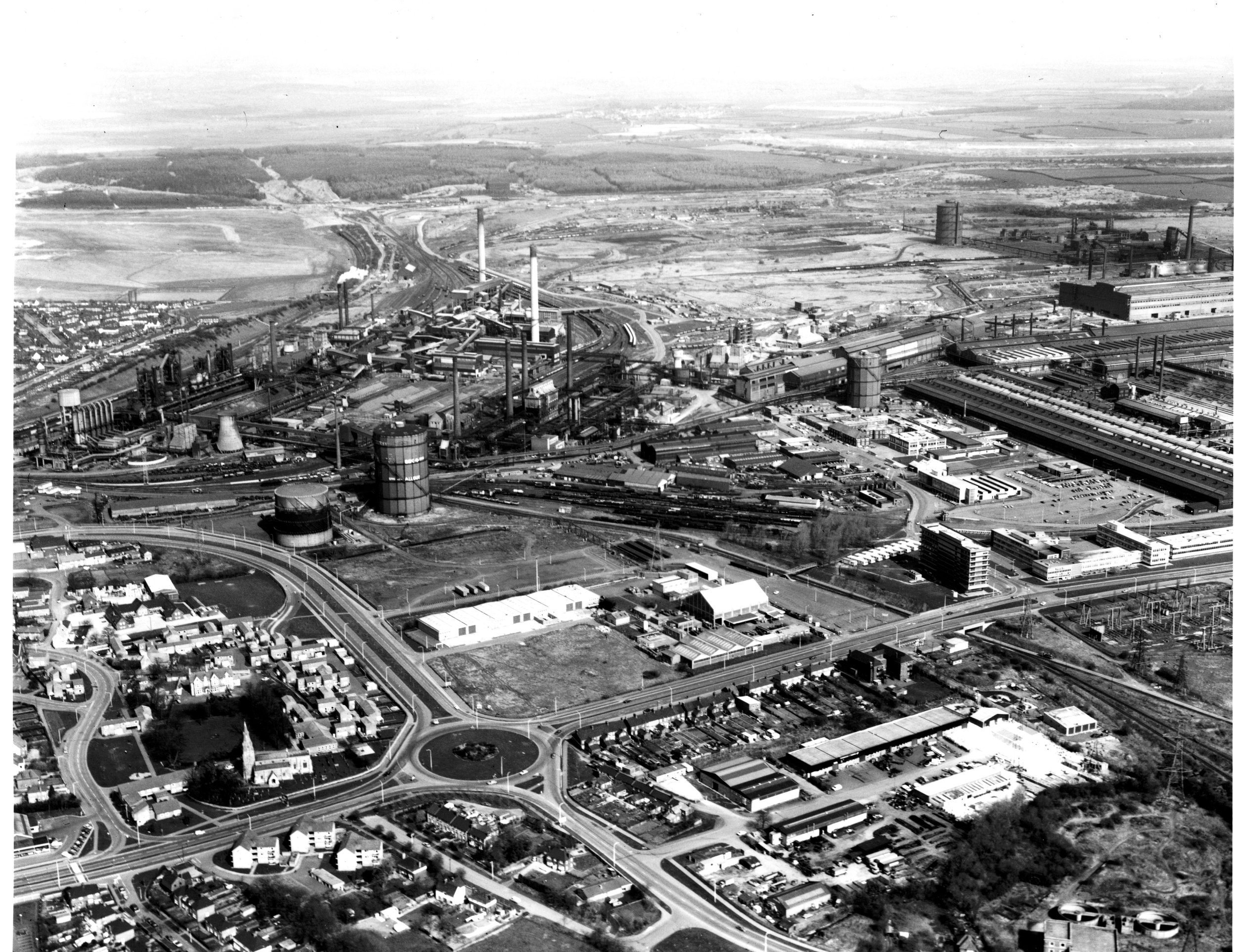
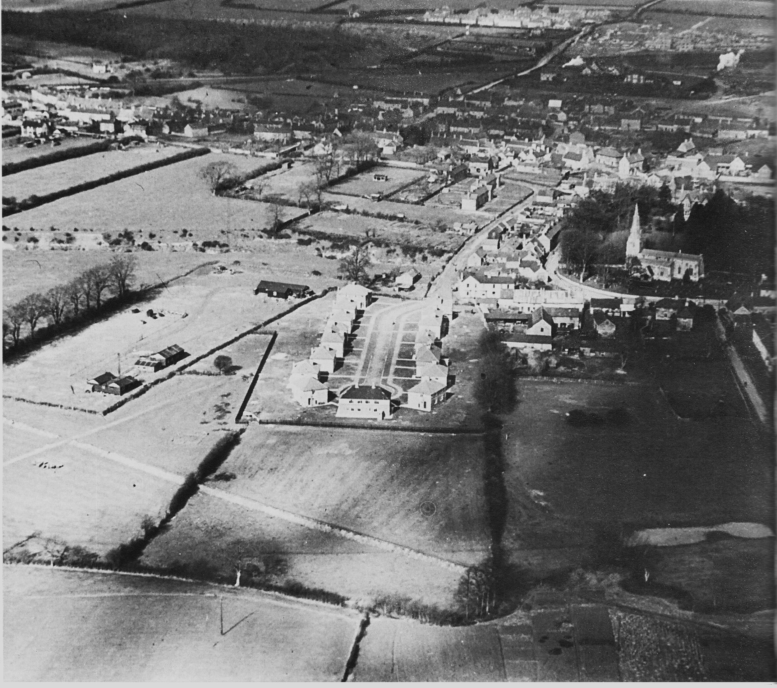
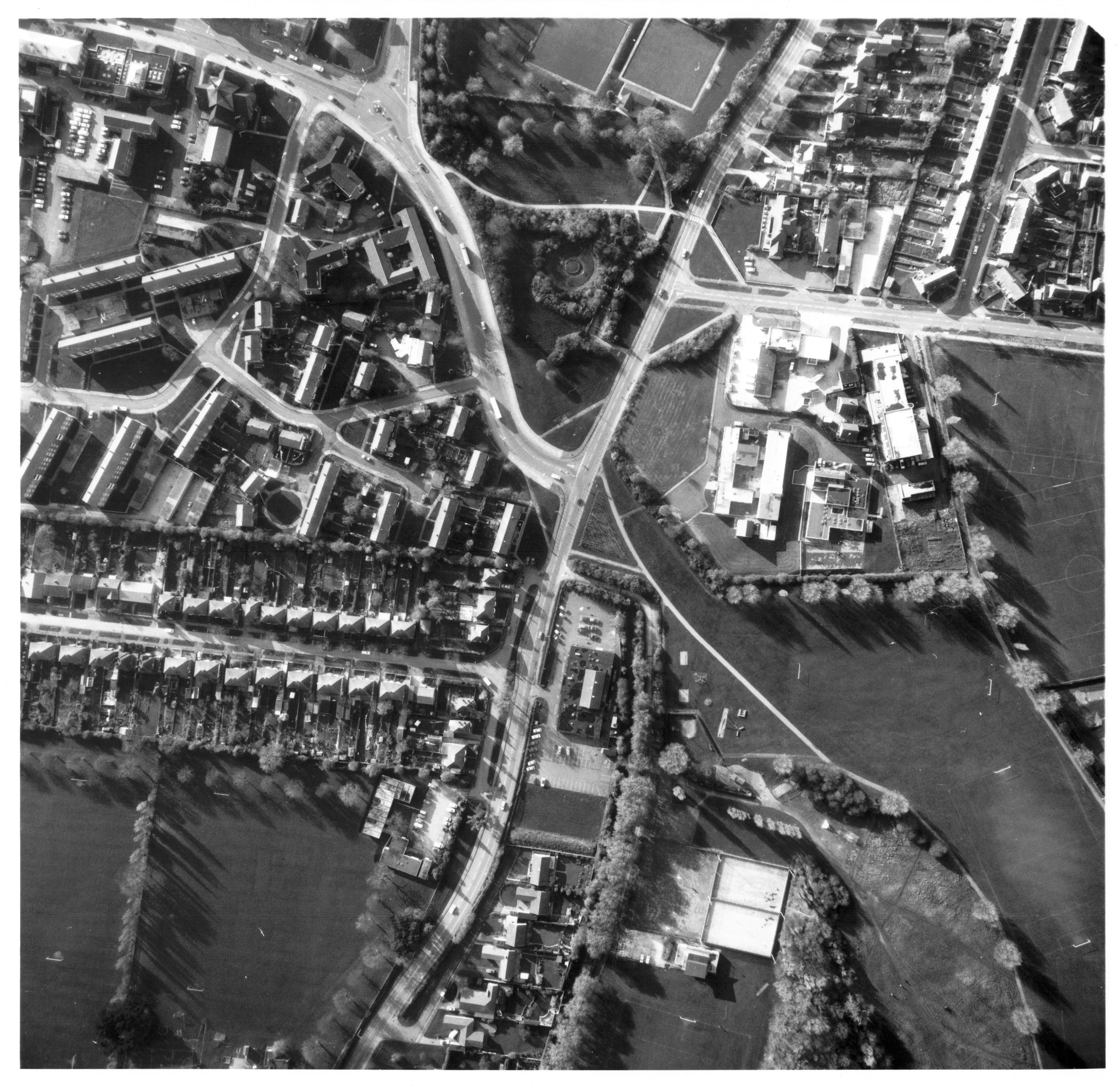
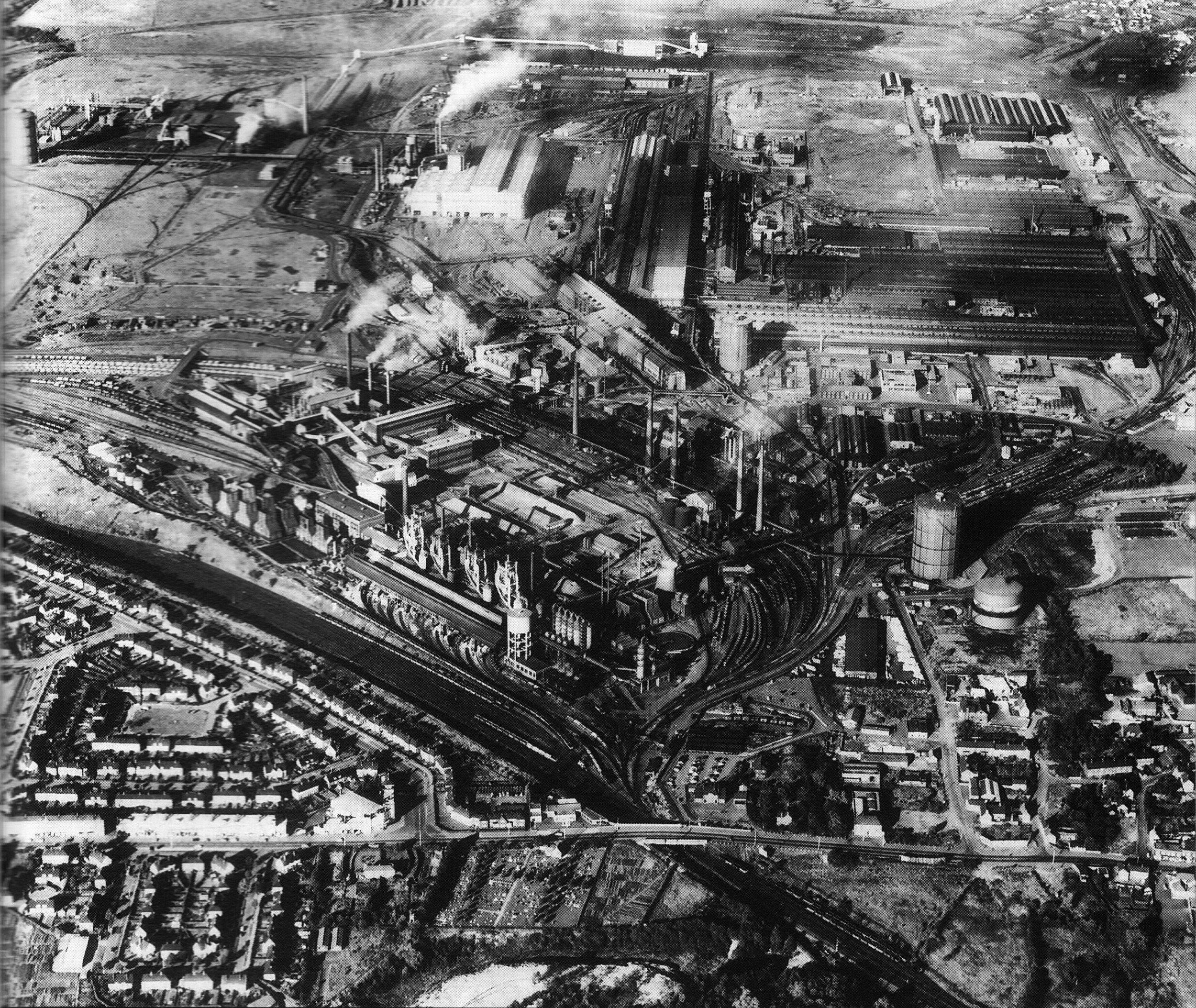
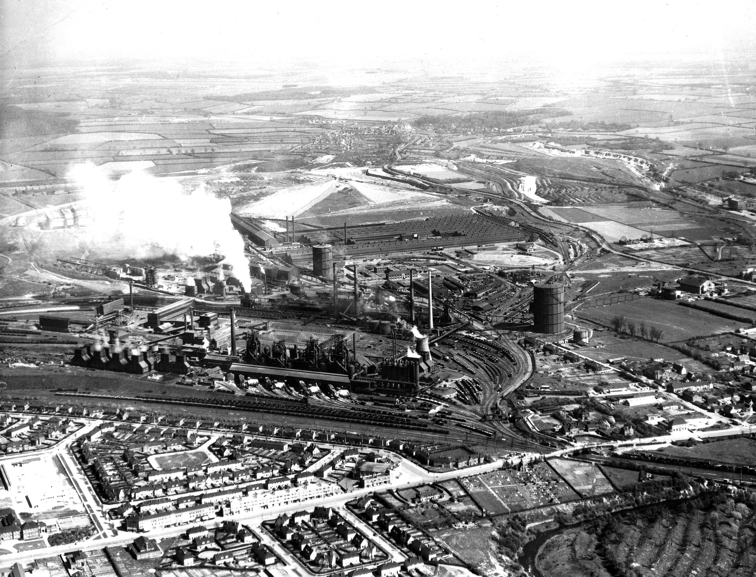
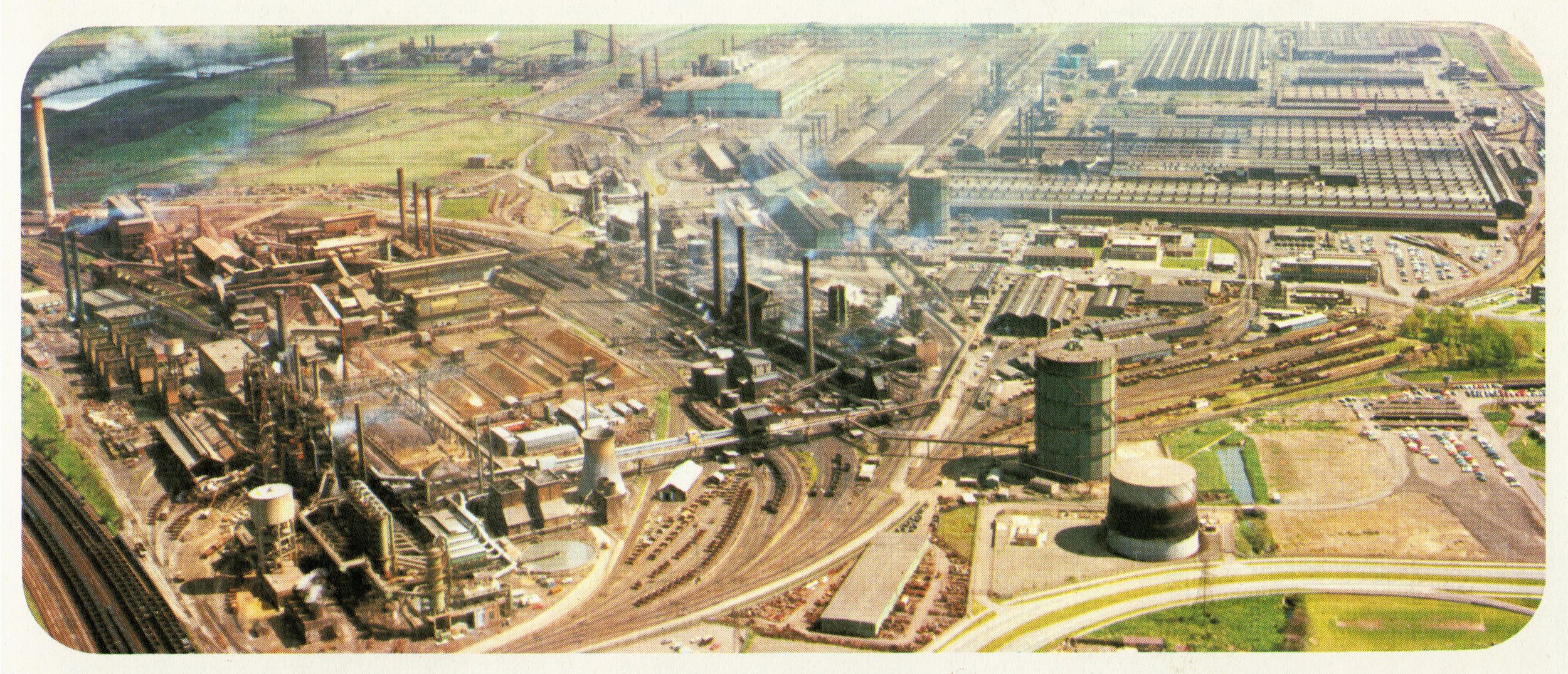
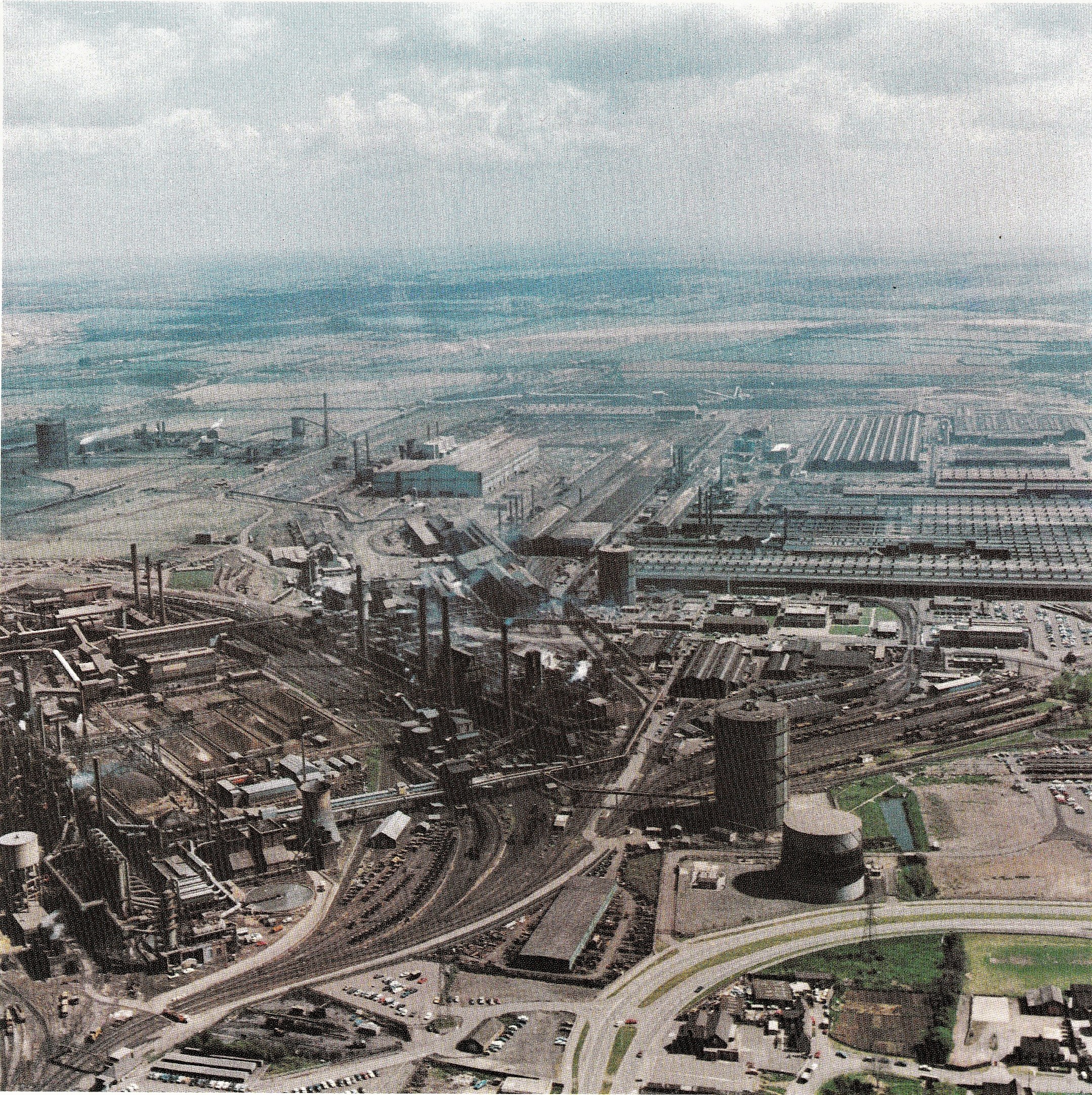
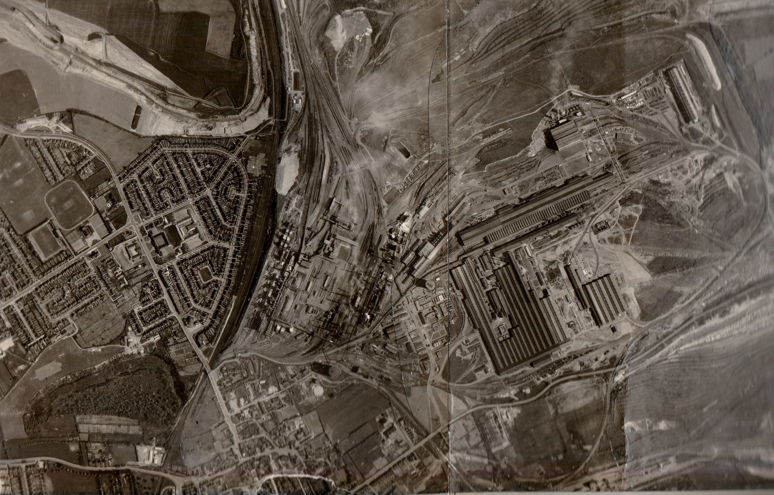
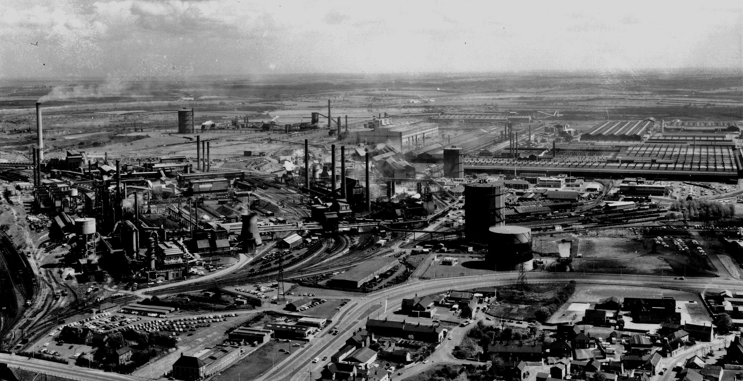
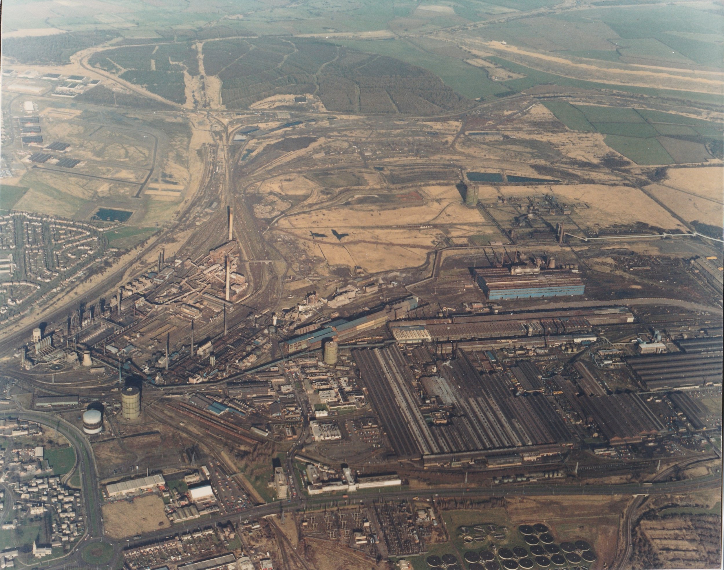
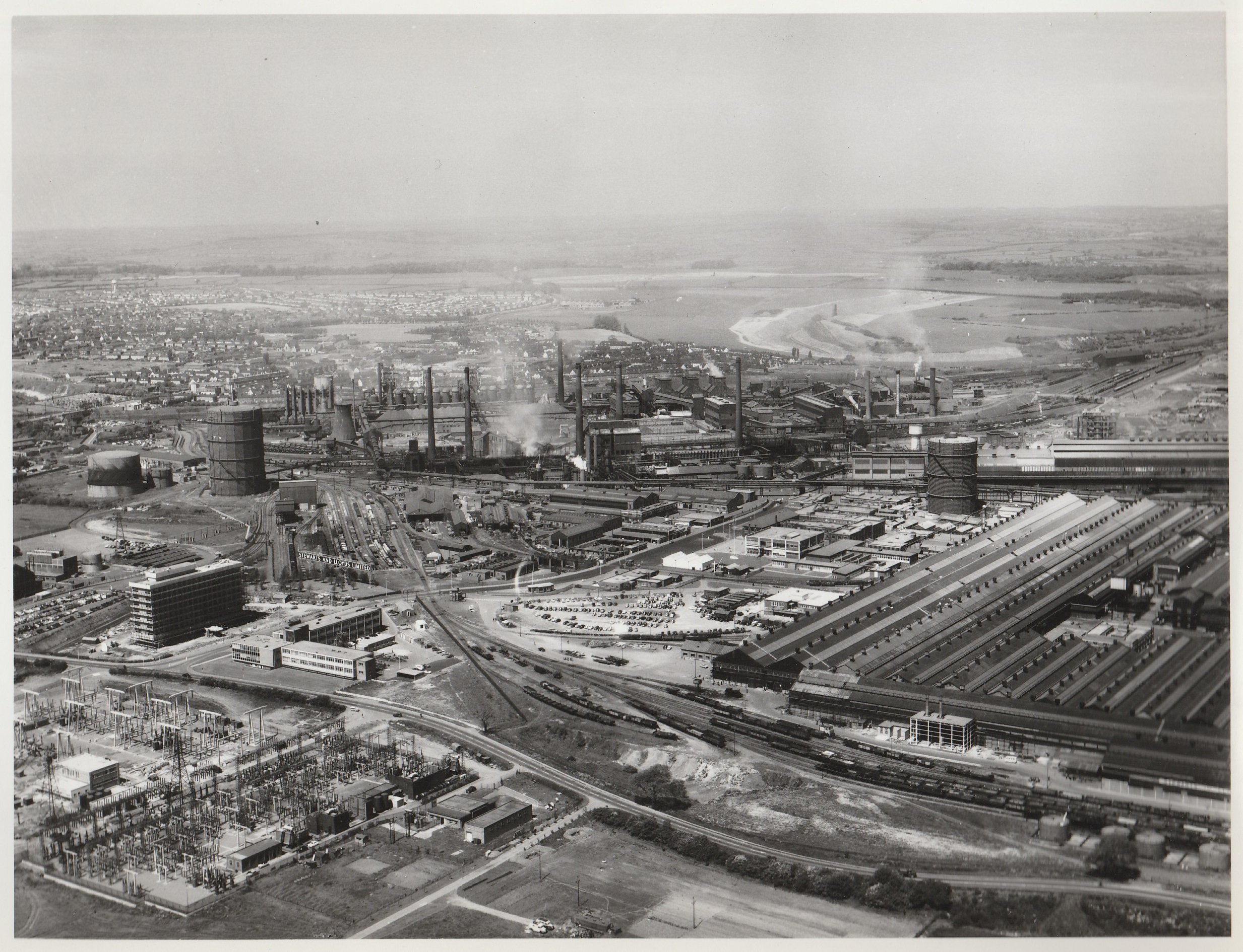
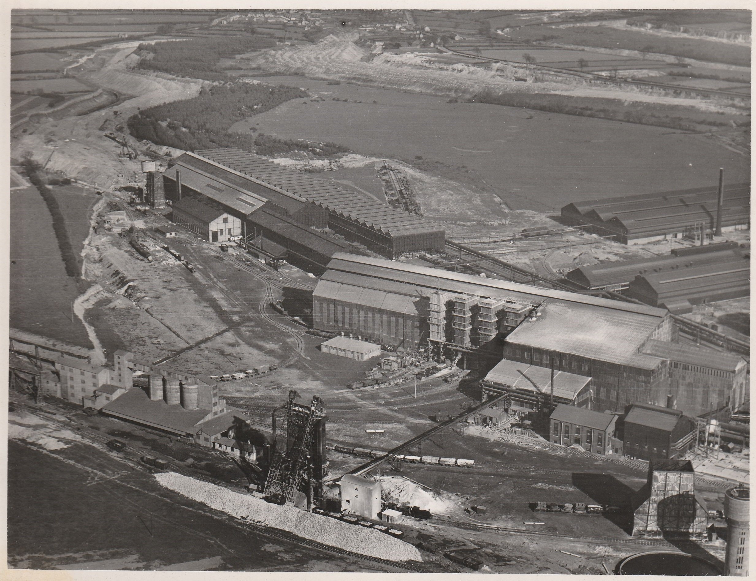
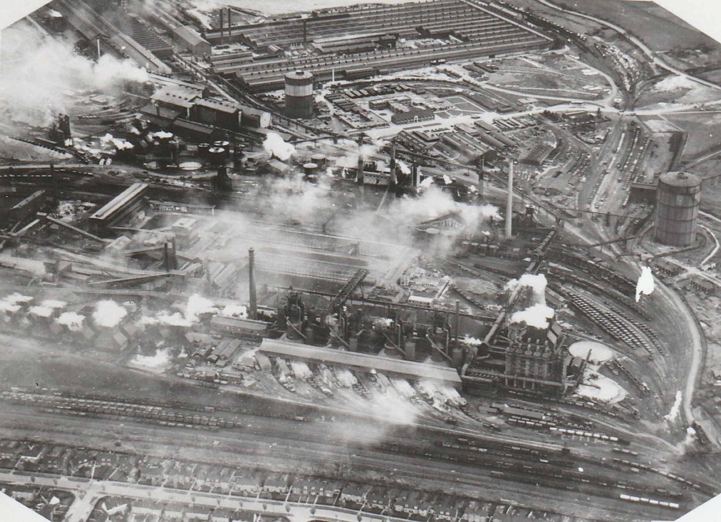
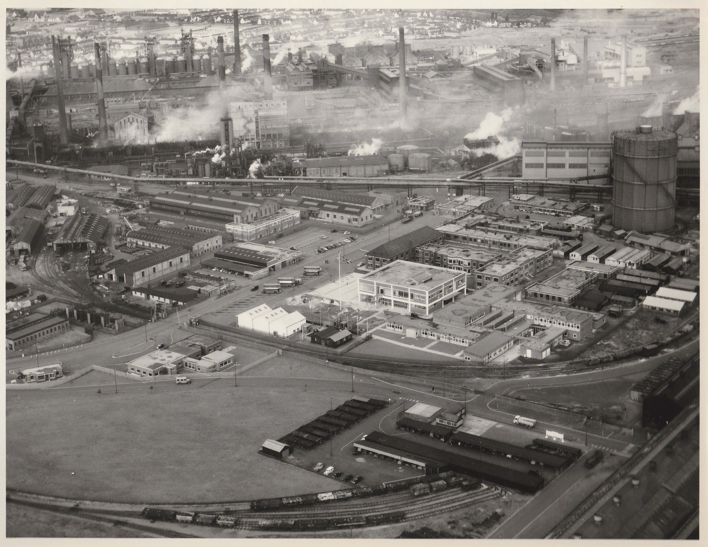
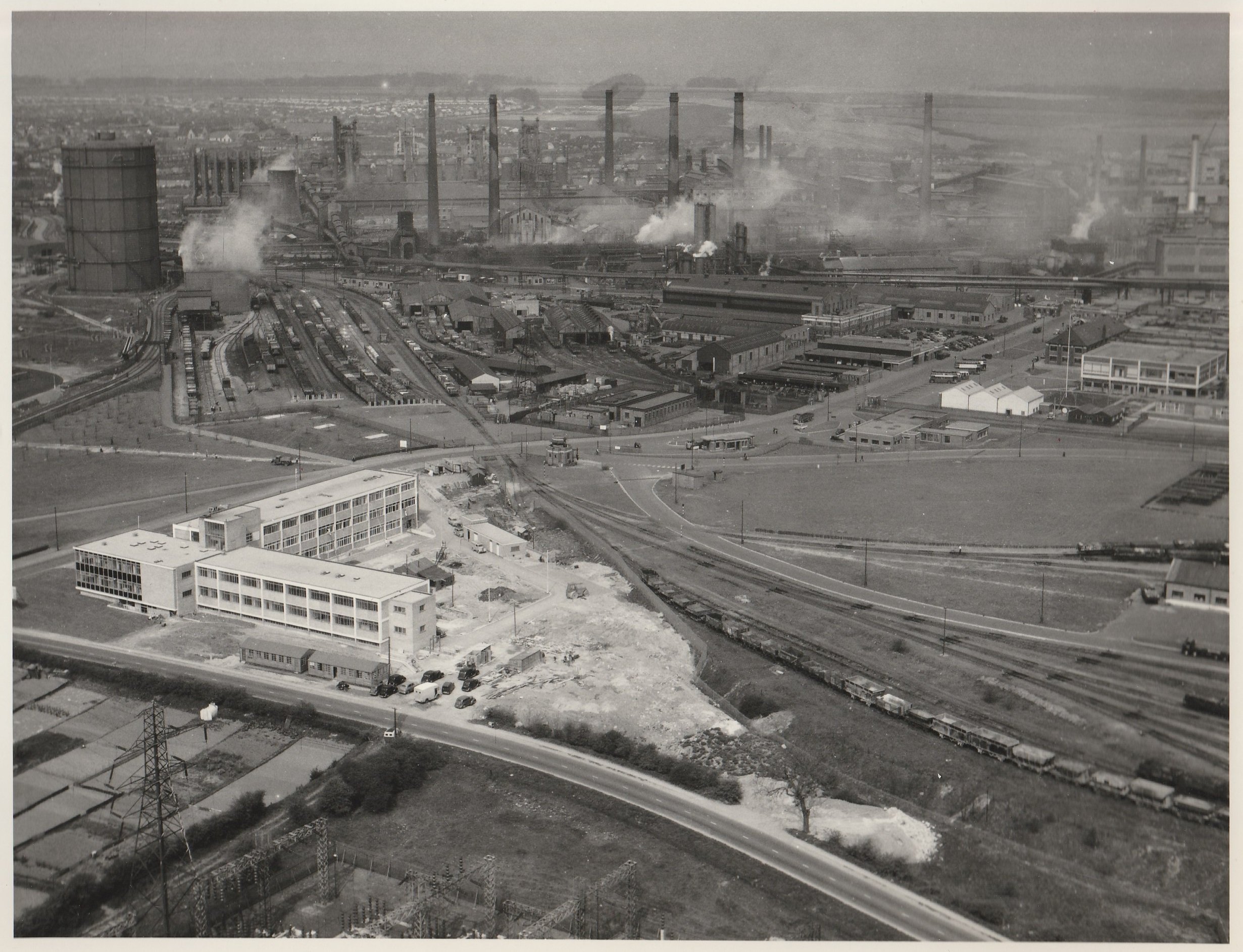
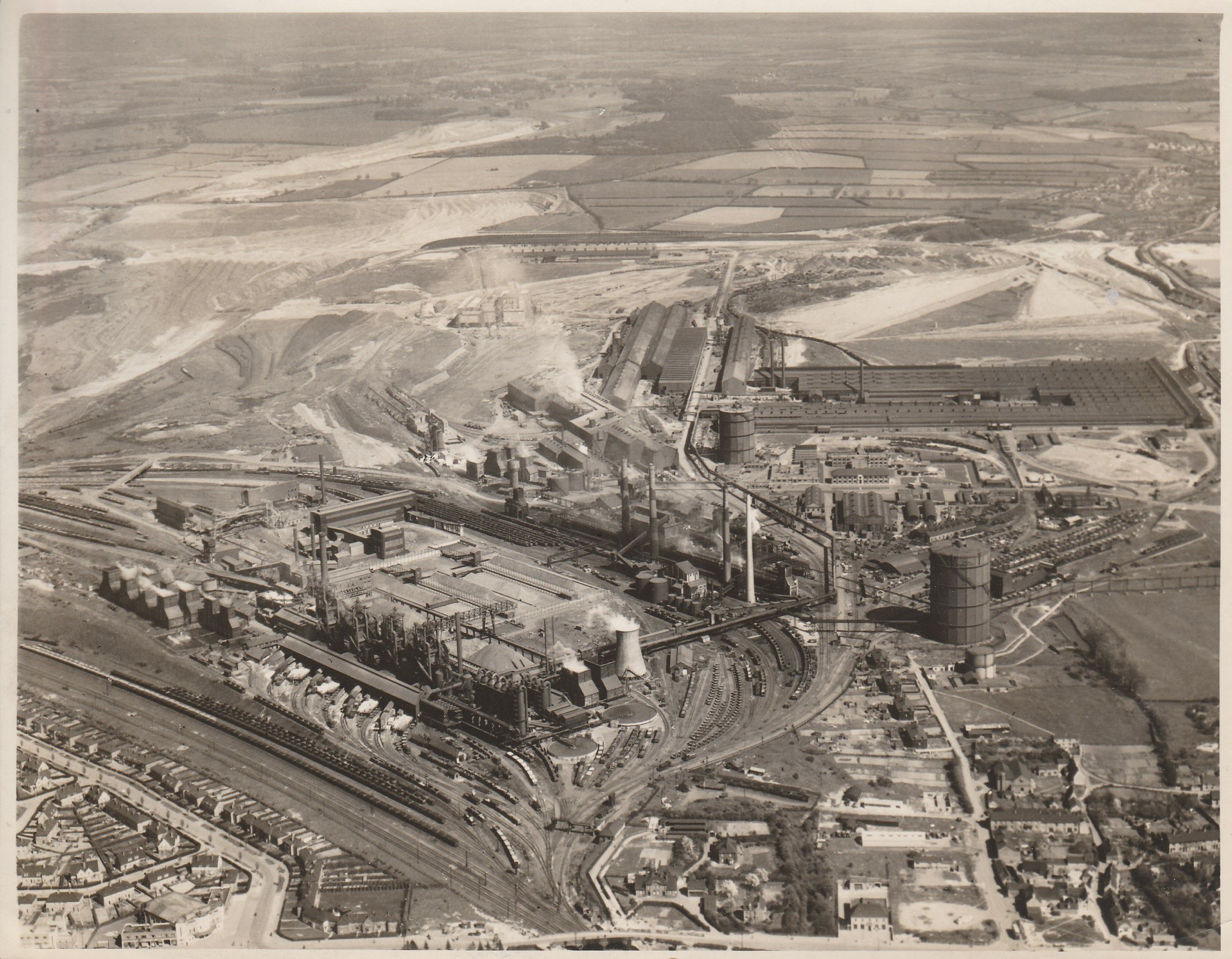
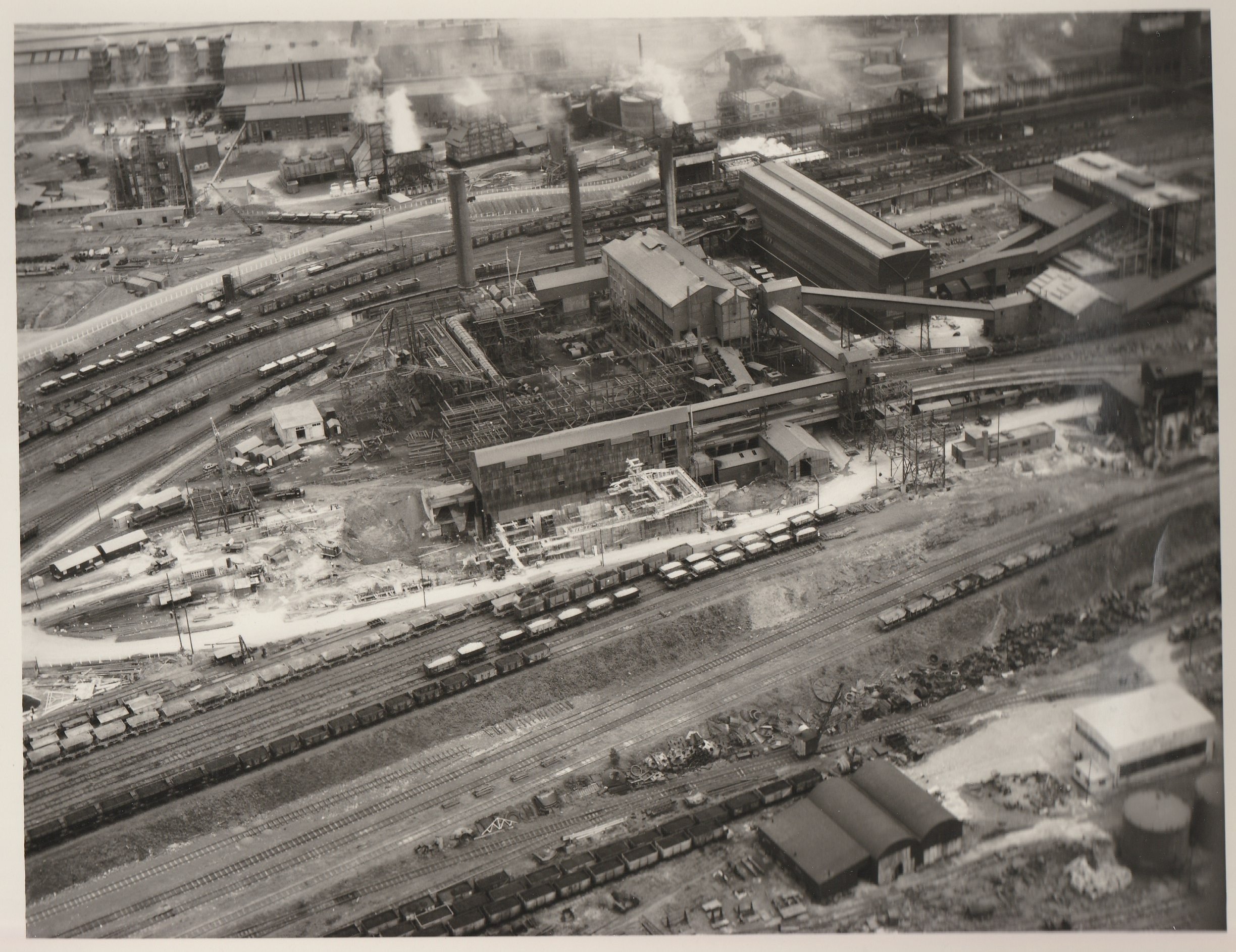
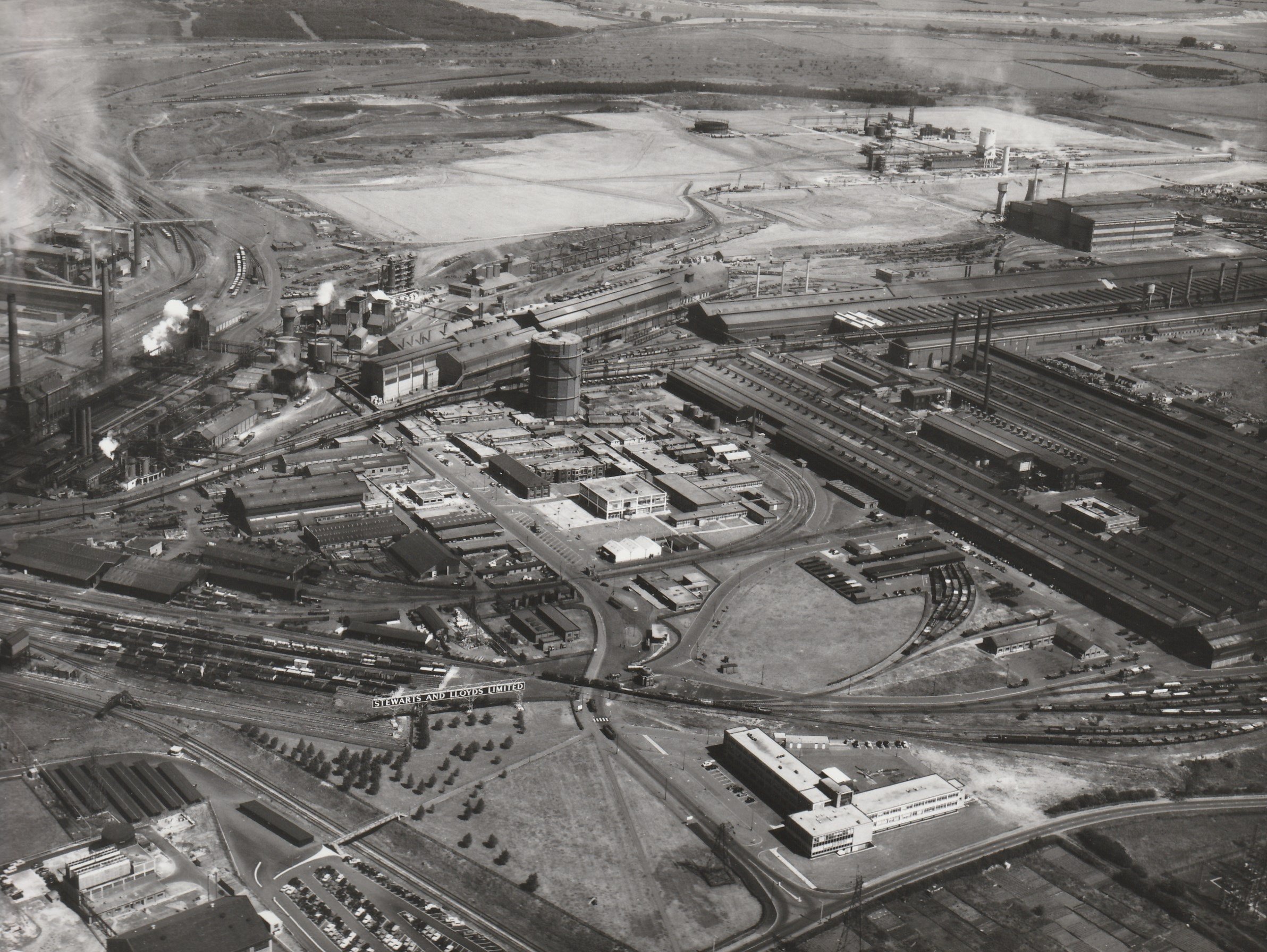
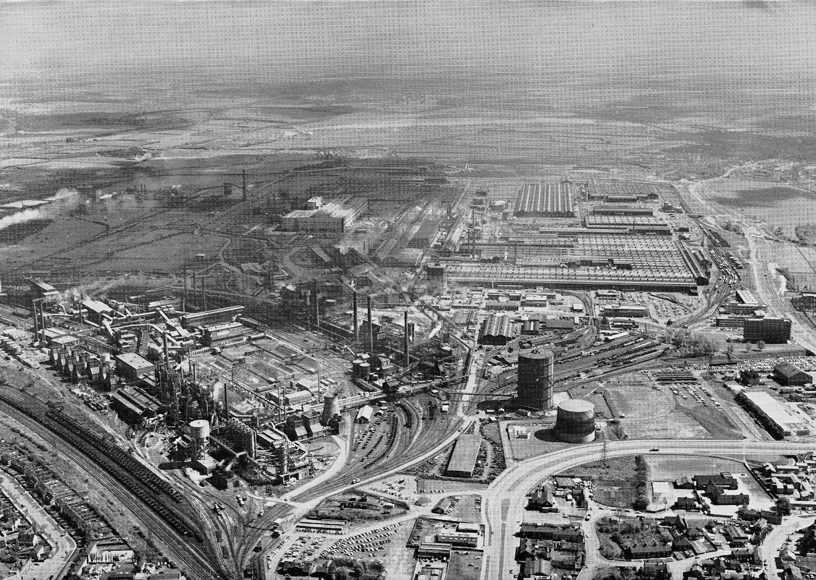
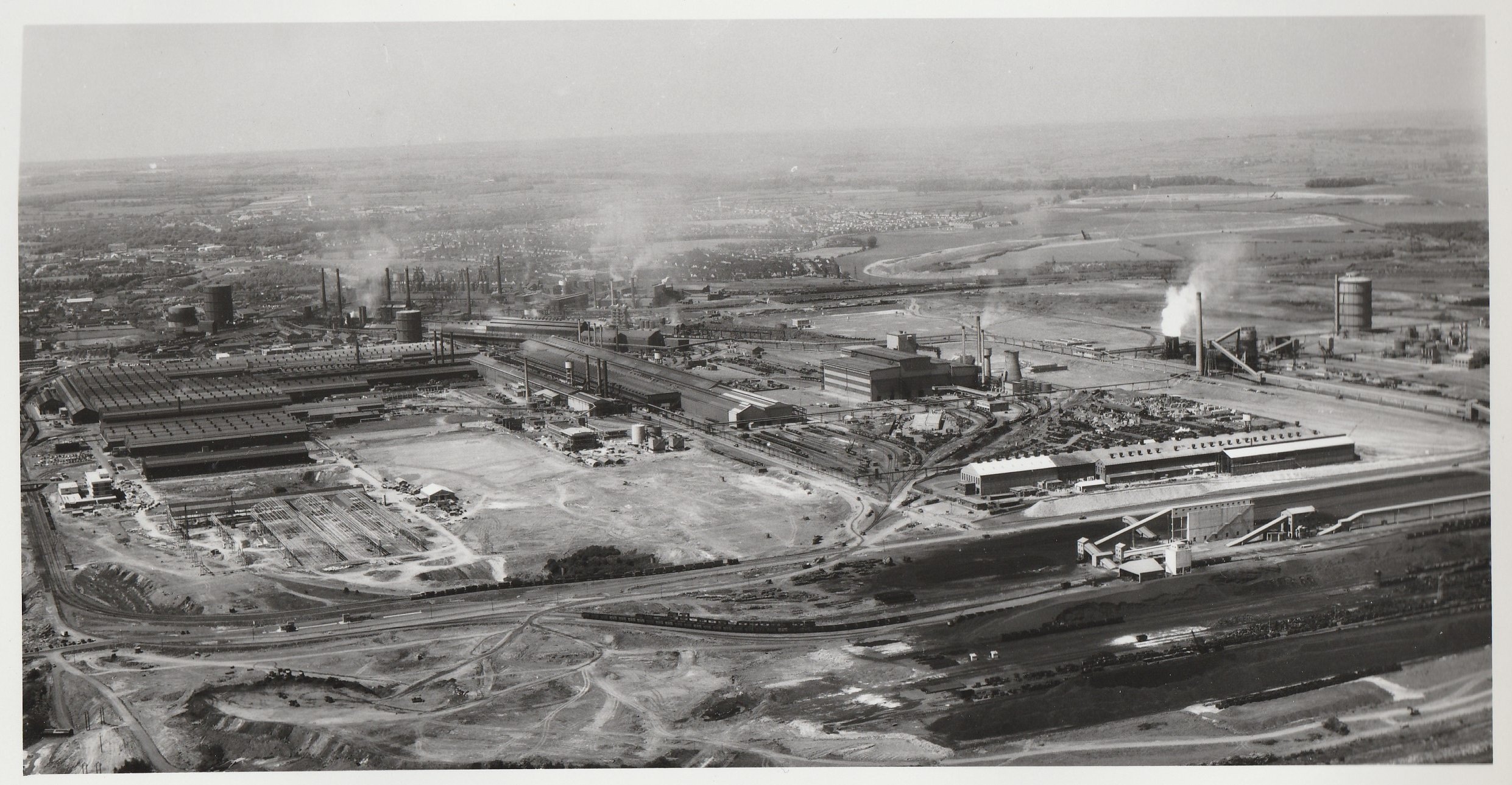
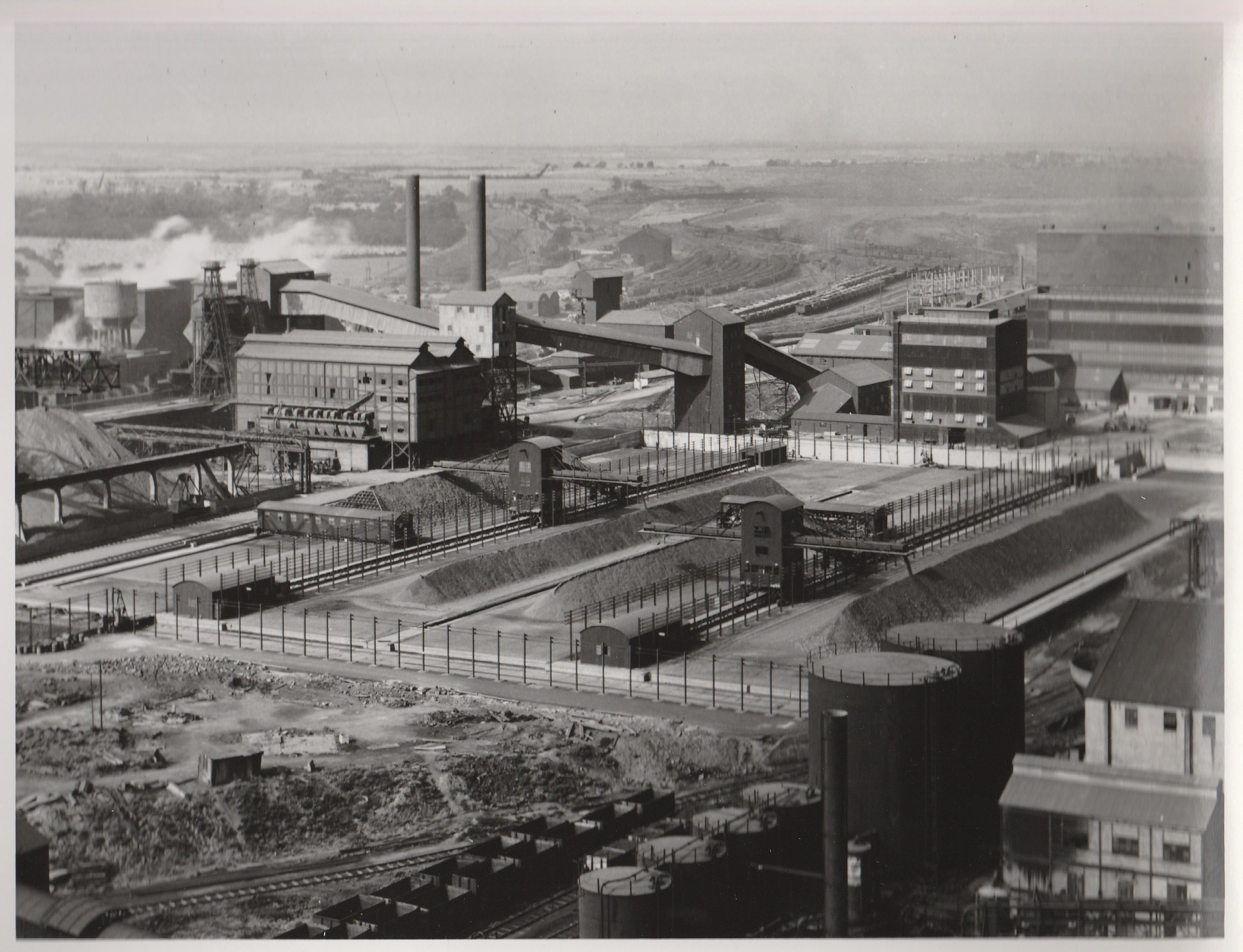
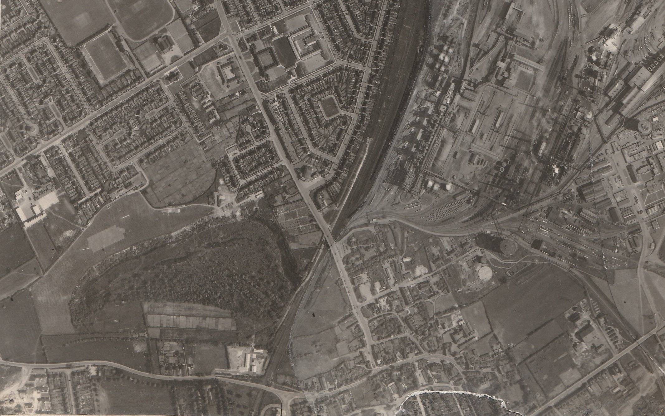
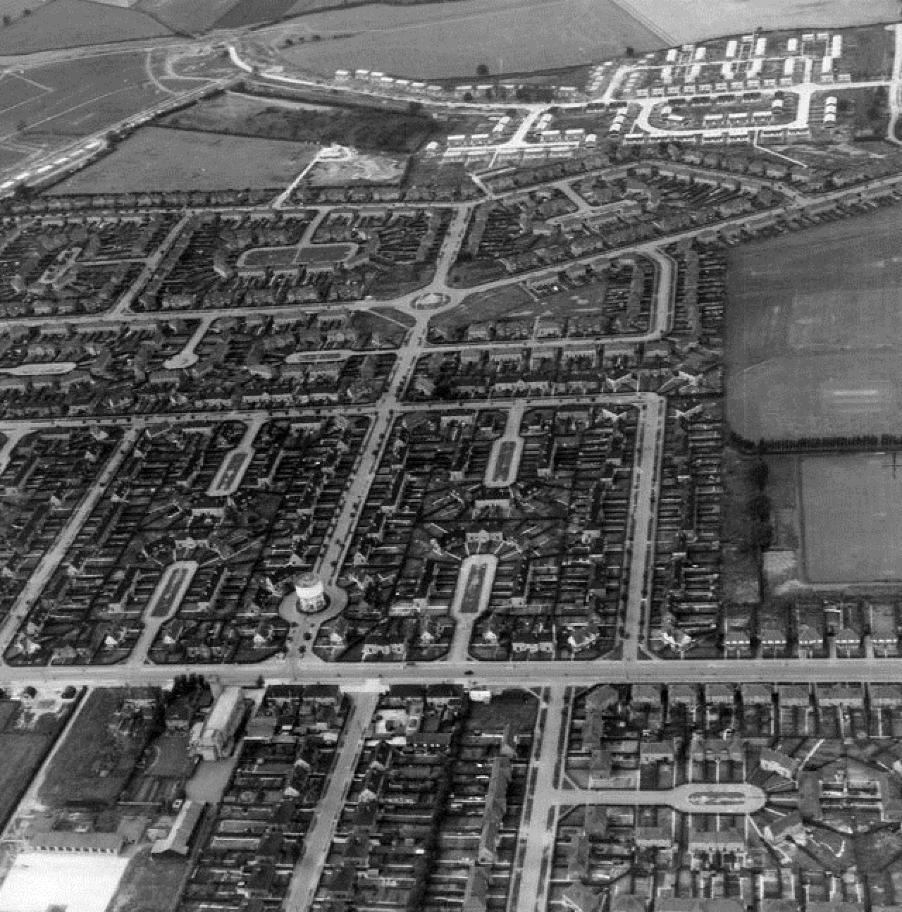
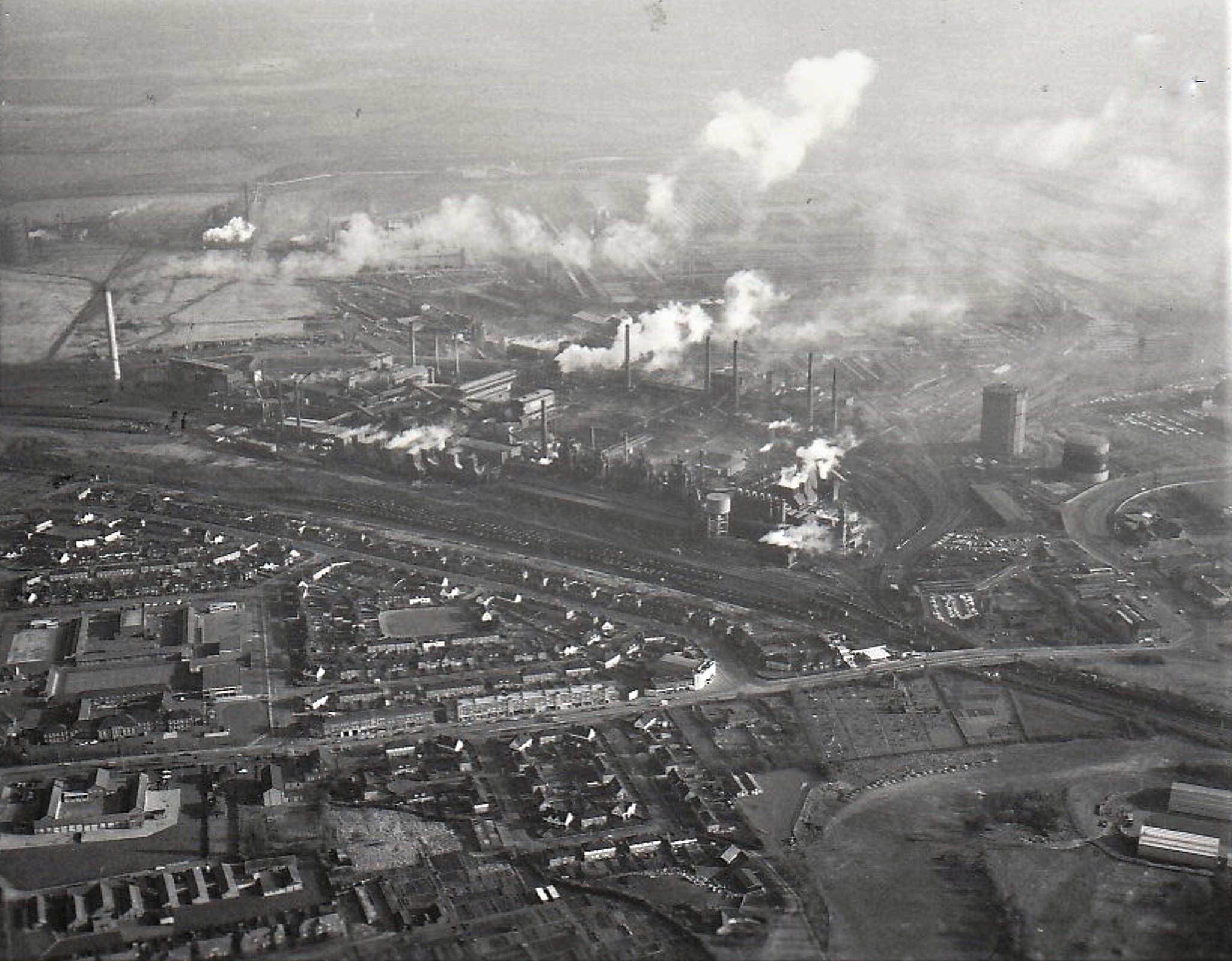
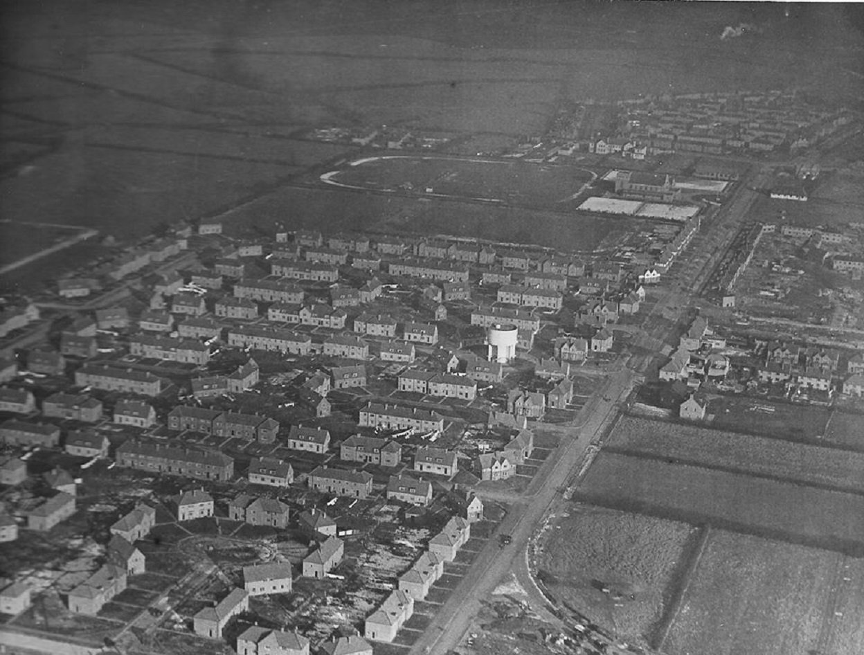
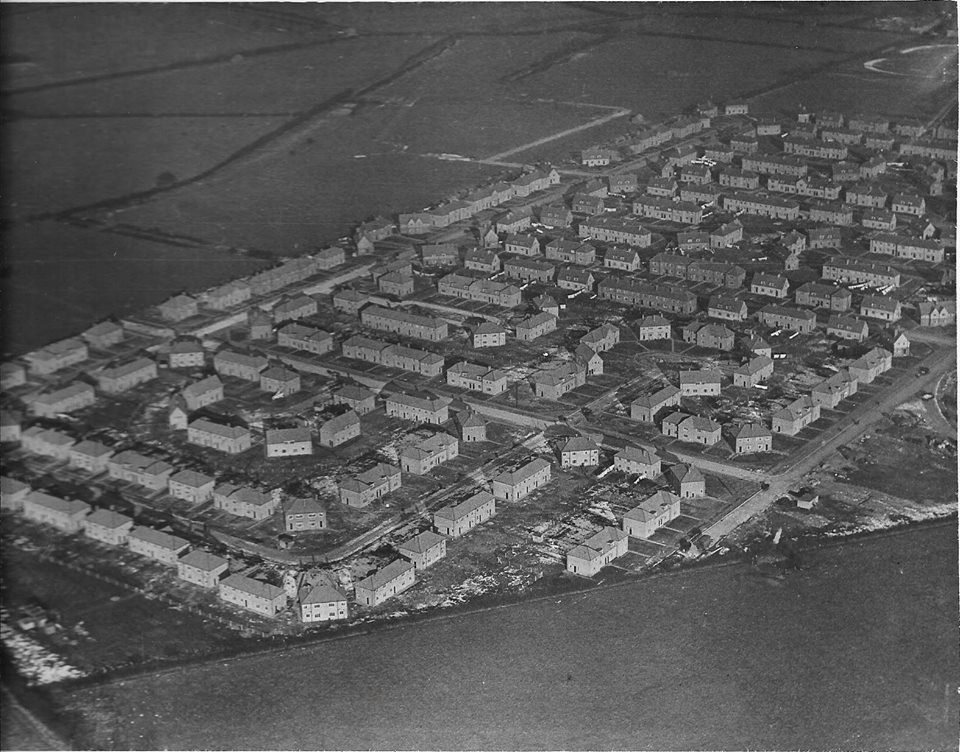
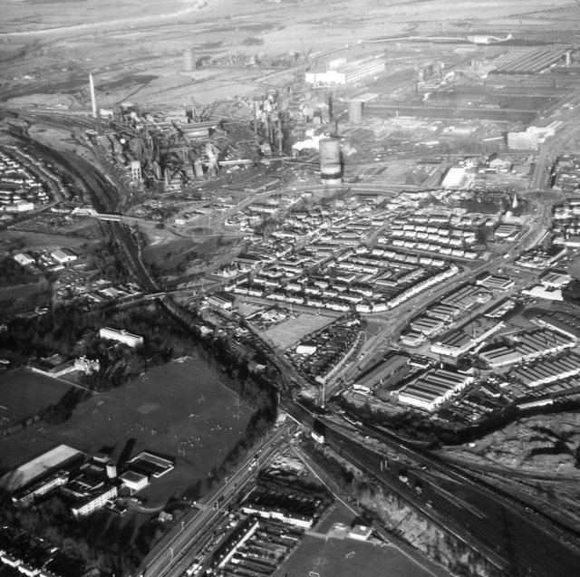
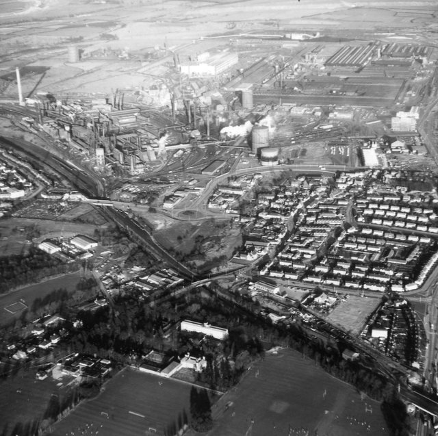
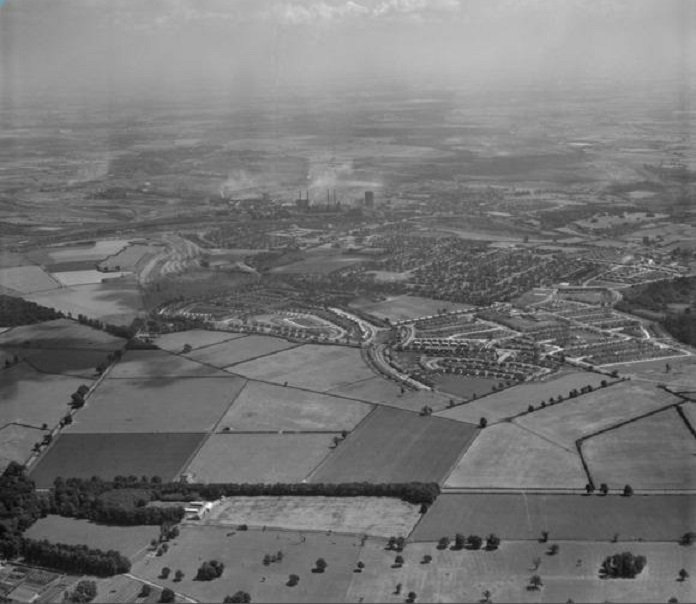
The gallery begins with a Black and White image from 1934; an aerial view capturing the Steelworks and Tubeworks. The subsequent collection of maps and aerial images show the site over four transformative decades.


Use links above to navigate to the next section of images